From terrain data to real-world execution.
Analyze the terrain and identify key risks and opportunities.
Plan the mission with clear objectives and structured actions.
Carry out the operation with precision and confidence.
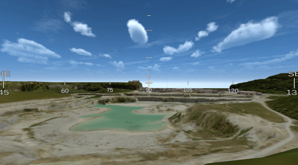
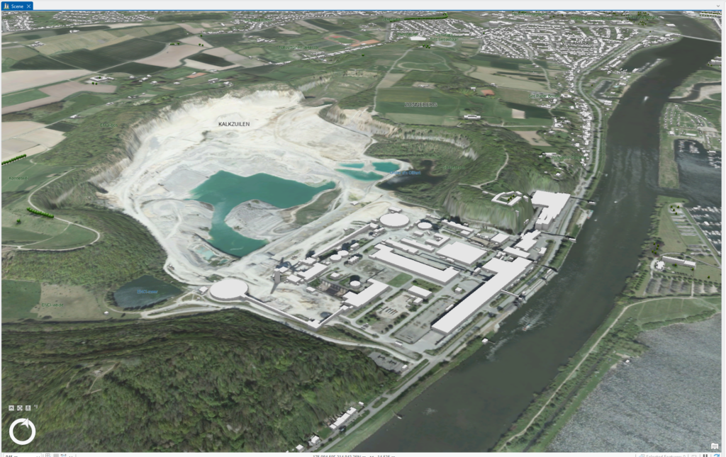
2D planning makes it hard to visualize elements that may be blocked at different heights while Virtual Reality provides a view close to real-life.
Different situations can be planned out in different sheets so that units can be prepared for anything.
A person in the VR experience only needs to look around and answer questions based on what they see.Therefore the learning curve is really low.
A touch-screen pc setup for the planning aspect and a VR headset per person getting instructed.
Our VR Headsets allow you to enter passthrough mode so you can look at your colleagues while discussing
The VR instructee will be able to enter the Eagle View to see the whole situation unfold from topdown. While checking out their personal situation from their own POV
The environment can be changed based on the weather. However the effect of the weather on the unit will be demonstrated from the planner app.
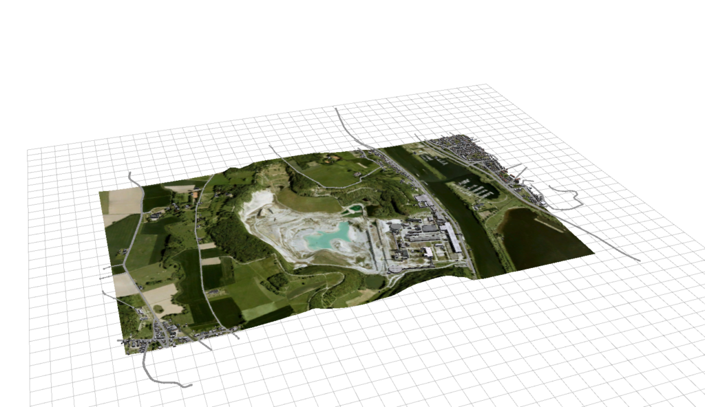
When the app is connected to the right map provider virtually any location will be possible
Turn terrain analysis into precise, real-world operations.
© 2026 All Rights Reserved.